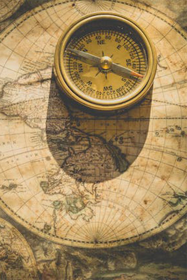
CONSULTANCY SERVICES
With 23 years of experience, ARAT Consulting can provide consulting services for your projects. We will accompany you with our expert team from the first day you intend to start mining activities and provide support by producing the information you need for your project. You can have easy credit possibilities from national and international banks for your project with the studies we perform in accordance with international standards and the reports we prepare with the Qualified Person (QP) signature.

EVALUATION OF MINE SITE
We provide consulting services for the geological and mineralogical evaluation of your mine license area using satellite imagery and GIS facilities. With remote sensing studies, it is now possible to have knowledge about the mine area before you get the license, to determine the necessity of the site, and therefore to proceed economically during the license application studies. We can evaluate inside and outside of your mine license area, prepare reports to international standards, and provide your firm with direct access to the correct locations with our team specializing in remote sensing analysis and mineralization
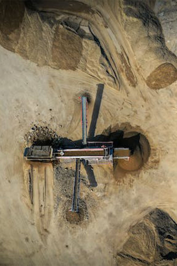
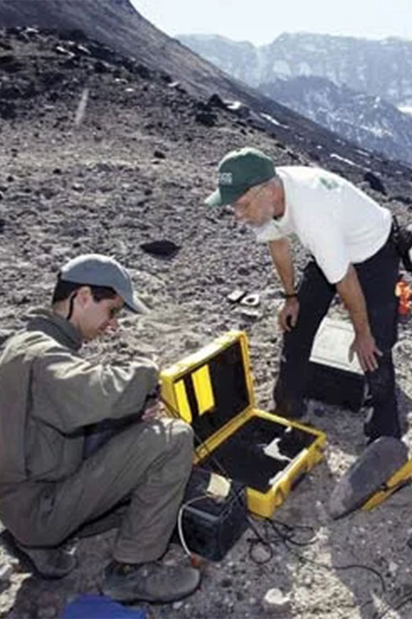
FIELD STUDIES
We can assess the status of your mine license area with our team of special experts having Qualified Person (QP) authorization. For that, our team can prepare reports in accordance with international standards. about the potential of your site, revealing the advantages and disadvantages of keeping the site and processes to maximize efficiency in later stages.
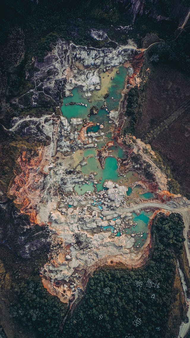
ENVIRONMENTAL PRE-ASSESSMENT
Knowing the relationship of your mine license area with the other environmental data will allow you to take precautions and protect your investment. For this purpose, our company has developed a very detailed and precise “Environmental Database”. This database is produced by tracking the environmental layers in our country for many years and storing that information in GIS environment. Our Environmental Database has precise coordinates for various environmental data such as tourism areas and development regions, national parks, special environmental protection areas, natural parks, metropolitan boundaries, petroleum and natural gas pipelines and power lines, dams and protection areas, and the areas that are closed for mining activities. You can have extremely consistent, precise and up-to-date information about your site by comparing the coordinates of the region you are interested in with this environmental data.

EVALUATION OF TENDER LICENSE
Do you wonder about the status of the site before entering the mine license tenders? We can provide reports about the sites with respect to environmental data layers, geology, and mineralization potential with our expert team. You will be able to know the real value of the site since you will have prior knowledge about related sites before tendering via these reports. Accordingly, you will have a chance to decide whether to own the site or not before entering the tender. Our company also provides these consulting services with specialized staff.
LICENSE / PROJECT EVALUATION
The right investments would become possible with the accurate, rapid, precise, coordinated, and interrelated evaluation of various data. For this purpose, our company evaluates your projects in a GIS environment and provides vivid and rapid information.
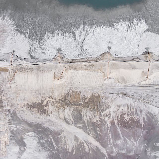
REMOTE SENSING (RS)
Remote sensing studies include all kinds of satellite image analyses and base map production where our clients need them in their field work.
Have you ever used the satellite images?
We provide the highest-resolution satellite images to you! You can use our products during your field studies or during your office work. Do you know your targets in the field? Do you know where to go while you are in the field?
Do you know where the minerals, natural resources, geological features, formations, and structures are located over the field?
We can direct you to the hot spot before you spend more money and time.
Do you know the mineral distribution in your license area?
We can take you to the most concentrated and ore-rich area by analyzing the remotely sensed image data. Then, you can reach your goals in a faster, cheaper, and safer way.
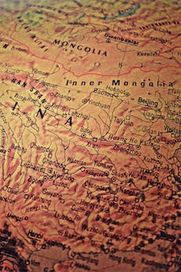
SATELLITE IMAGE SALES
It is now very easy to acquire satellite images for multiple purposes. You can even use 30–40 cm ground-resolution satellite images for your detailed engineering studies, or you can use ASTER images for mineral exploration purposes, which have several bands that are invisible to the human eye.
Please contact us to find out what type of satellite imagery fits well with your projects. Call us and let us assist you! ...
There are some examples of satellite images below:
- ASTER
- Landsat
- SPOT
- RapidEye
- WorldView-1 & 2 & 3
- GeoEye -1
- GOKTURK -2
- Ikonos
- Quickbird
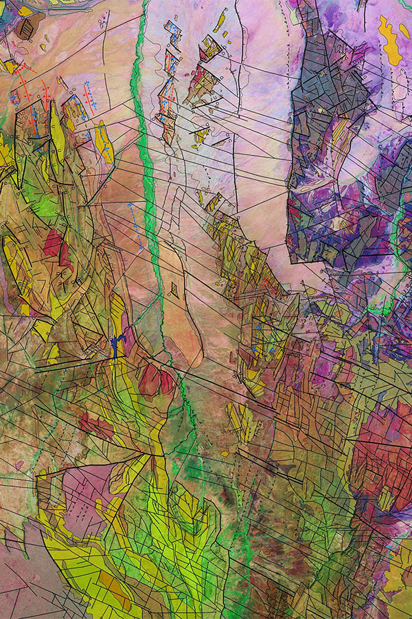
IMAGE ANALYSES/PROCESS
Do you want to know the properties of your license area before you deal with the tough field conditions?
You can get a lot of information by analyzing the satellite images without being physically in the field. Geology maps and alteration maps can be prepared via satellite image analysis for your mining license area. Creation of target areas and prioritization of the targets are possible for the highlighted areas, which gives a safer and more economical exploration approach to our clients. We are specialized in remote sensing and satellite image analyses in mineral exploration for your license areas and neighboring areas.
TARGET GENERATION/ALTERATION MAPPING
The fastest way to detect alteration and mineralization is now possible through remote sensing using satellite image analysis. Our expert team will select and use the right satellite images according to the mineralization type in your area of interest. Once the satellite images are processed, our experts will generate target location maps that will be used by field geologists, engineers, and mining companies. Identification of mineralization and understanding its distribution at your mining license area or in any region allows you to save time and money. Such a great advantage makes an important contribution to the license evaluation with the satellite image analyses.
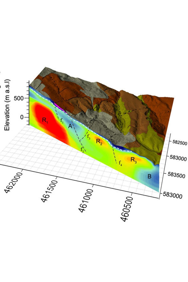
GEO-STRUCTURAL ANALYSIS
Several geological problems can be solved by using satellite images or aerial photographs with the linear analysis technique. This very important technique can provide determinations of faults, boundaries of geological units, fold axes, and possible joint zones.
In remote sensing techniques, lineament analysis is also used in the determination of the existing fault and fold axes, weak zones, joint systems, and veins, as well as the definition of possible stress directions.
It is possible to define the directions of the identified linear features and reveal the main and regional stress directions as the results of the lineament analysis. Knowledge about the structural history and water presence of the region can be found by studying weak or joint zones with lineament analysis.
ORTHO-RECTIFICATION
Nowadays, all the satellite images have been recorded with coordinates that have random errors. Such errors are derived from the topography, the sensor itself, and the instrument's accuracy. Therefore, it is necessary to use such images in detailed engineering projects and in target generation.
Orthorectification is a process applied to the satellite images to overcome these problems. Satellite images are purified as much as possible from the topographical impacts, registered in detail, and harmonized with the map projection systems, resulting in accurate maps by using the orthorectification process.
BASE MAP PRODUCTION
Base maps are detailed images produced by using high-resolution satellite images, which can be used in various detailed engineering applications such as dams, railways, highways, and construction.
We can produce these maps in accordance with the necessary precision values by ortorectifying high-resolution satellite images.
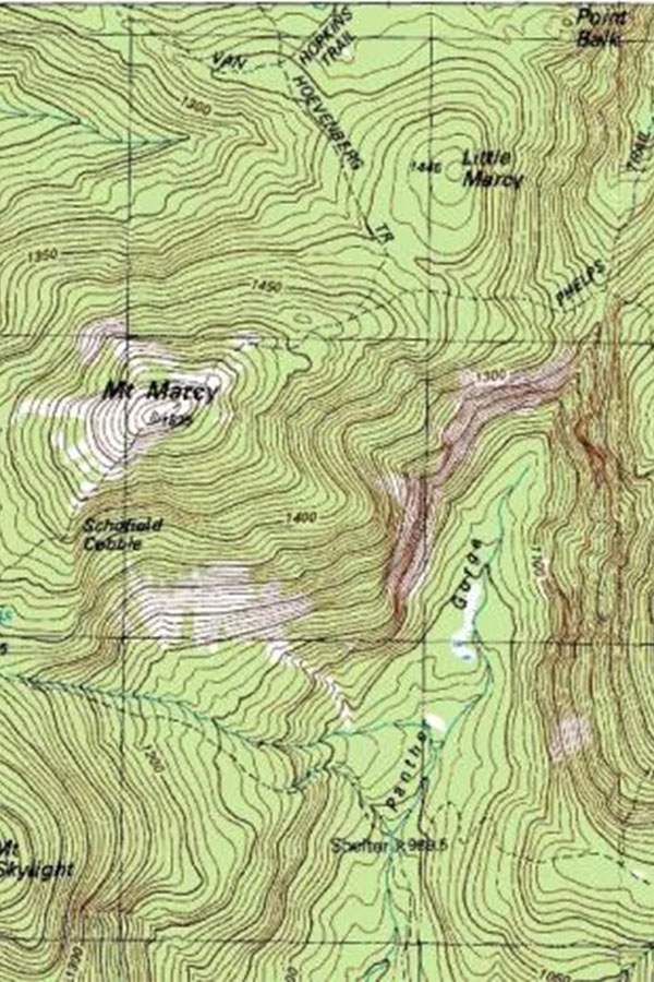
TOPOGRAPHICAL MAP PRODUCTION
Topographical maps are produced from stereo satellite images by using photogrammetric methods. Two satellite images of the same region are used, with approximately 60% laterally overlapping. Regional topographic information is obtained as a result of the precise georeferencing of these two satellite images.
Despite the changes in sensitivity according to the used satellite images, 1:5000-scale topographic data production is possible from satellite images.
You can contact us to obtain topographical data sets precisely and rapidly for the regions where no available topographical data exists.
GROUND DEFORMATION DETECTION-SUBSIDENCE
Ground subsidence, landslides, or subsidence can be caused by changes, depending on the artificial alterations. Recently, these changes have been detected more precisely and consistently by radar images.
Determination of the historical vertical movement of the area you are interested in has been possible since 1990. In addition, primarily the safety of the site can be ensured, and then the impacts of your project can be identified by the determination of present and forecasted ground subsidence.
It is possible to identify, define, and take action about the positive and negative effects of your project for requested periods by collecting information, as if, for example, 4 million GPS have been placed in a 2000 km2 area.
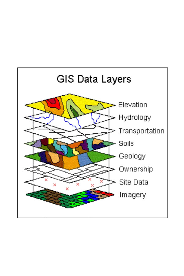
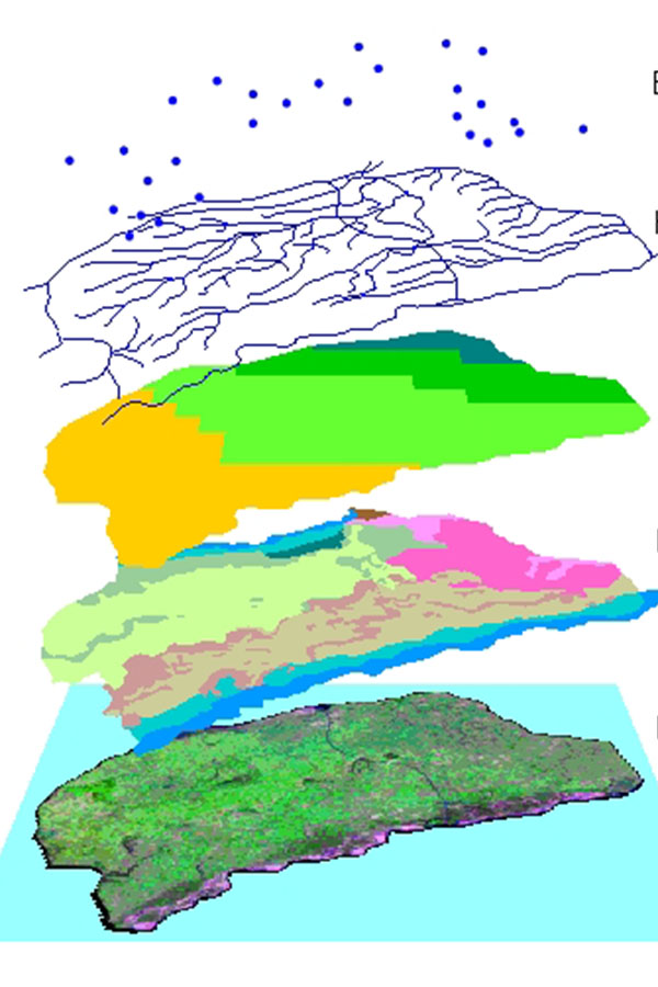
GEOGRAPHIC INFORMATION SYSTEMS (GIS)
Geological services include the analyses of each mining license area by the specially expertized geologists and geological engineers.
We can contribute to your projects with our Qualified Person (QP) authorization. We can ensure that your projects will be realized to international standards, and we can add value to your projects during the feasibility and credit facility stages.
We can assist you in the production of geological data sets and maps, in spatial querying, in evaluation, and in correlation with environmental factors.
Do you need geological map and geological data sets? Do you want to use your geological maps with your other data in coordinated manner?
Do you need to realize geological mapping, sampling, and selection of drilling locations? Do you want to prepare the borehole logs in a descriptive and detailed manner and also evaluate all the data together at your project site?
We would like to geologically evaluate your data sets and spatially prepare them precisely in the format and projection system (UTM, Latlon, WGS84, ED50, etc.) you requested.
SPATIAL DATA PRODUCTION
Do you know the precise coordinates of your study area? Do you know the appropriate projection system and datum for your project?
Produced maps will be much more accurate and precise when the spatial location is correctly structured. Besides, you can overlay these data with the other coordinated data sets and have a chance to produce much more information about your study area.
DATABASE PRODUCTION
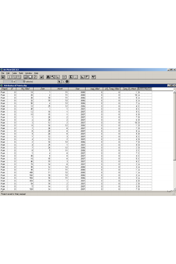
Do you need to make a spatial query? Do you need to immediately display the sample locations in which the results are higher than the defined threshold? Do you want to overlay the results with a geological map?
GIS gives users the opportunity to make queries for spatial and non-spatial data. You can store information for all the elements on your map in the database, and you can easily acquire the desired information at any requested time with the help of GIS. Additionally, you can make an analysis, evaluate the results, and produce appropriate outputs for your goal.
DATA EVALUATION
Data, users, hardware, and software are the main components of GIS. Storage, querying, analysis, and evaluation of large amounts of data are realized with the help of these components in GIS studies.
We can provide a fast, trustworthy, precise, and accurate evaluation of your data in a GIS environment and produce the necessary output maps in the required scale and format.

ENVIRONMENTAL PRE-ASSESSMENT
Knowing the relationship of your mine license area with the other environmental data will allow you to take precautions and protect your investment. For this purpose, our company has developed a very detailed and precise “Environmental Database”. This database is produced by tracking the environmental layers in our country for many years and storing that information in GIS environment. Our Environmental Database has precise coordinates for various environmental data such as tourism areas and development regions, national parks, special environmental protection areas, natural parks, metropolitan boundaries, petroleum and natural gas pipelines and power lines, dams and protection areas, and the areas that are closed for mining activities. You can have extremely consistent, precise and up-to-date information about your site by comparing the coordinates of the region you are interested in with this environmental data.
DECISION MAKING
GIS supports users in making decisions based on solutions related to the problems of the spatial data. We can provide proper solutions by using multi-criteria decision analysis for the “decision-making” mechanisms of the produced maps related to your project aim.

ADDITIONAL DATA PRODUCTION
You can produce new information from your data sets, and you can approach and evaluate your studies from different points of view with GIS studies. Do you know that you can produce slope and aspect additional maps of your study area by using the Digital Elevation Model (DEM) data, which has been produced from topographical maps?
Similarly, revealing the drainage network and flow paths of the region and performing the density analysis is possible again by using the topographical data.

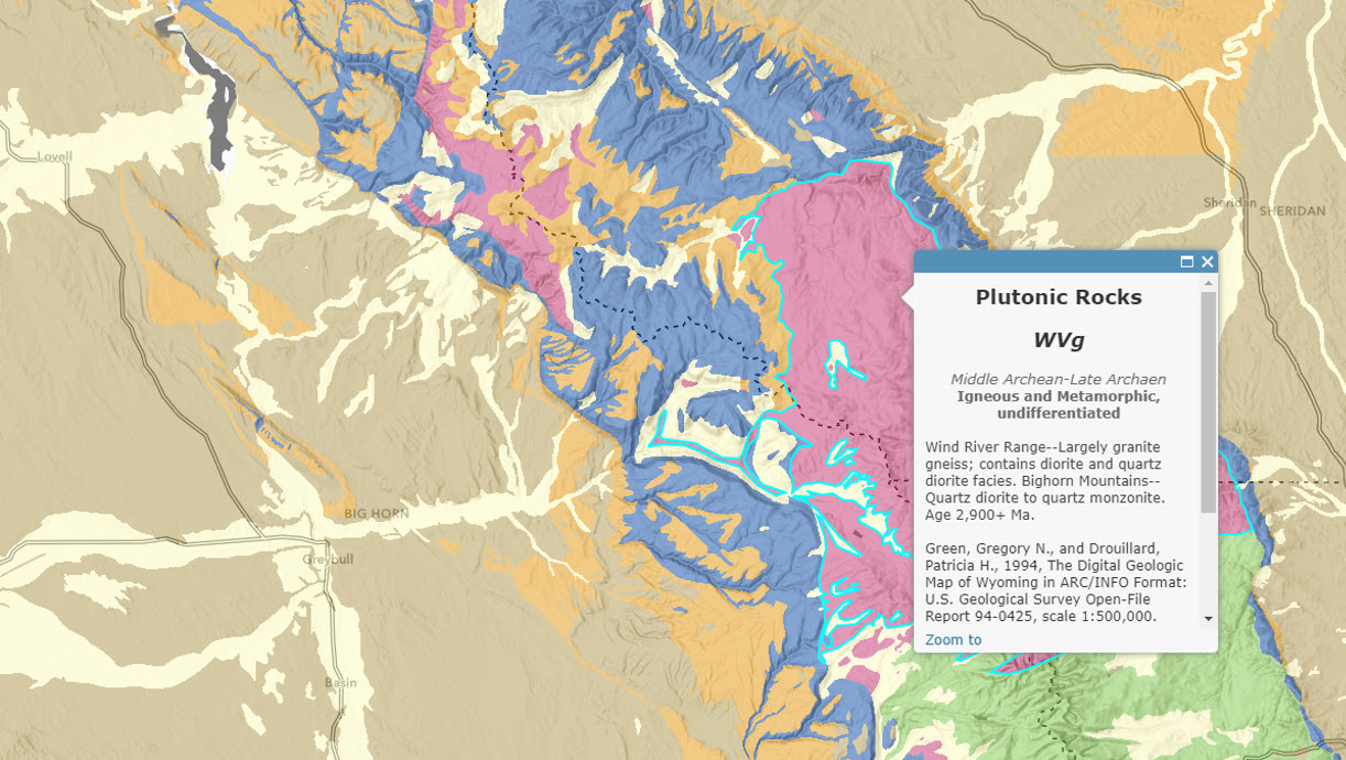
GEOLOGICAL DATA PRODUCTION-GIS
Do you need quick and easy access to information about your sampling point, such as its elevation, lithology, proximity to the fault and fold axis, or the distance to the nearest stream in your study area?
Your measurements in the field and the information about the formation or the geological structure are recorded instantaneously and automatically in the GIS environment. Consequently, you can produce data more rapidly and reach your results faster and more accurately in your office studies.
Various spatial data can be produced, queried, analyzed, and evaluated easily when GIS studies are included in geological studies.
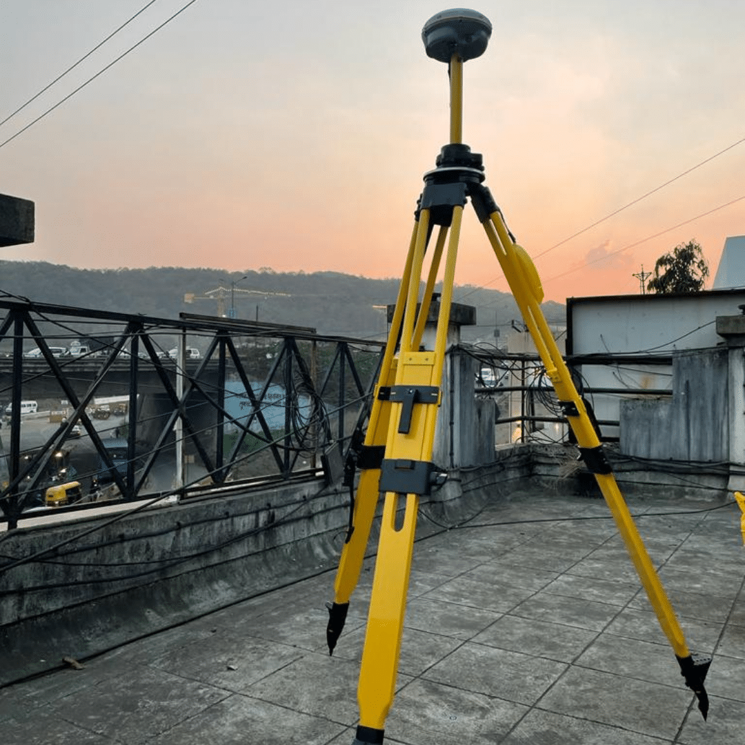
DGPS MEASUREMENT
Do you know the precise coordinates of the sample collection points in your field studies?
You will have the coordinates of the point in the field with a few centimeters of precision, both horizontally and vertically, with the CORS-DGPS. You can make your maps coordinate with much more precision with CORS-DGPS by using the ground control points that you measure in the field.
GEOLOGICAL SERVICES
Geological services include the analyses of each mining license area by the specially expertized geologists and geological engineers.
We can contribute to your projects with our Qualified Person (QP) authorization. We can ensure that your projects will be realized to international standards, and we can add value to your projects during the feasibility and credit facility stages.
We can assist you in the production of geological data sets and maps, in spatial querying, in evaluation, and in correlation with environmental factors.
Do you need a geological map and geological data sets? Do you want to use your geological maps with your other data in a coordinated manner?
Do you need to realize geological mapping, sampling, and selection of drilling locations? Do you want to prepare the borehole logs in a descriptive and detailed manner and also evaluate all the data together at your project site?
We would like to geologically evaluate your data sets and spatially prepare them precisely in the format and projection system (UTM, Latlon, WGS84, ED50, etc.) you requested.
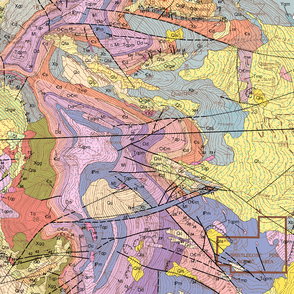
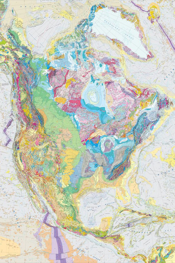
GEOLOGICAL MAPPING
Nowadays, all the satellite images have been recorded with coordinates that have random errors. Such errors are derived from the topography, the sensor itself, and the instrument's accuracy. Therefore, it is necessary to use such images in detailed engineering projects and in target generation. Now, it is possible to distinguish soil and clay types and create alteration and geological maps in large areas.
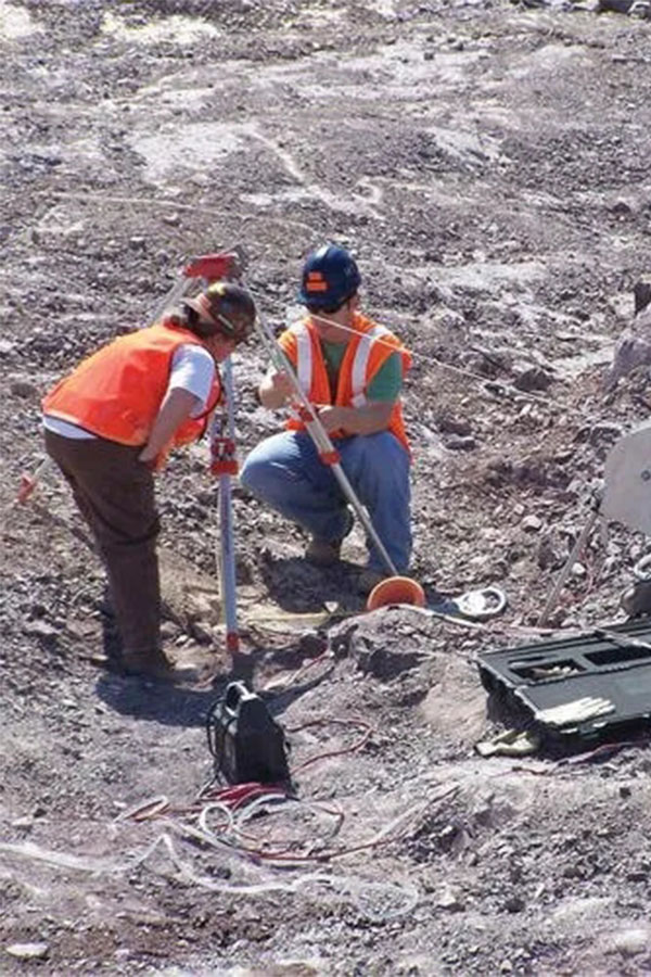
SAMPLING - LOGGING
Nowadays, all the satellite images have been recorded with coordinates that have random errors. Such errors are derived from the topography, the sensor itself, and the instrument's accuracy. Therefore, it is necessary to use such images in detailed engineering projects and in target generation. Now, it is possible to distinguish soil and clay types and create alteration and geological maps in large areas.
MAP / DATA CONVERSION
Do the data that you get from different sources overlay with each other?
Are the data with different coordinate systems consistent with each other? Can you evaluate all your data together?
We can convert data from different coordinates or datums to the requested projection system precisely with the correct map or data conversion. In this way, you can overlay all data correctly and precisely and therefore evaluate the data properly.
FIELD GEOLOGY REPORT
The first report or study to be requested by any profession in the investigation of your project area will be the geological report of the site. This report should be prepared by experts since it will be used as a base map in all kinds of multi-disciplinary studies, and new layers with new information will be added to it.
We are at your service with our highly skilled team that has Qualified Person authorization. Each team member has received certificates from international geological institutions about field studies and is still actively working in the field.
Please remember that you cannot realize a proper transfer, purchase, or sale for that site in the absence of the geological report prepared in accordance with international standards.
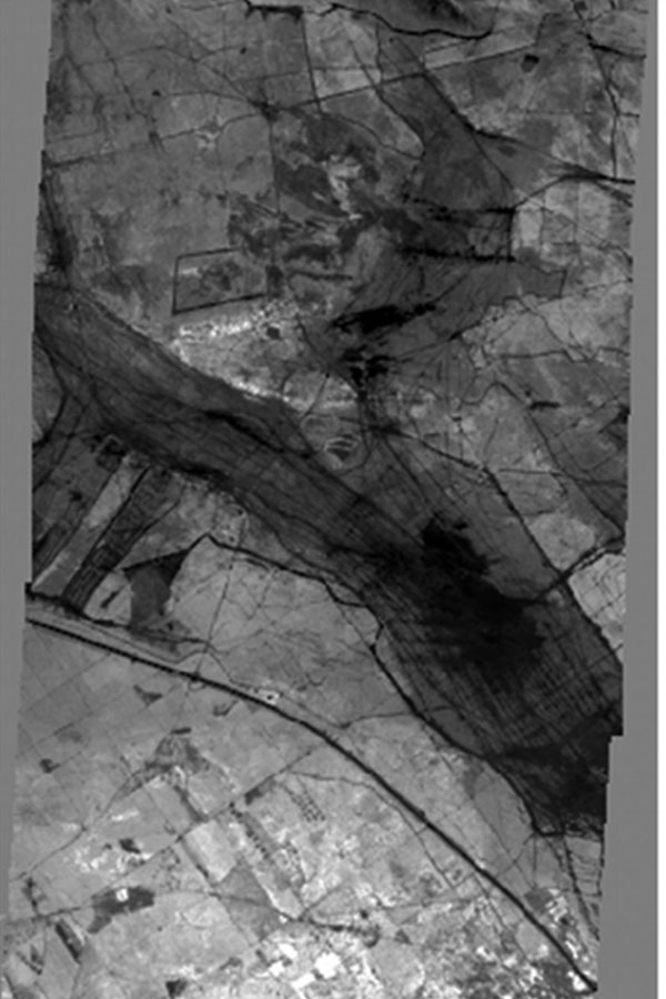
LINEAMENT ANALYSIS
Several geological problems can be solved by using satellite images or aerial photographs with the Lineament analysis technique. This very important technique can provide determinations of faults, boundaries of geological units, fold axes, and possible joint zones.
In remote sensing techniques, lineament analysis is also used in the determination of the existing fault and fold axes, weak zones, joint systems, and veins, as well as the definition of possible stress directions.
It is possible to define the directions of the identified linear features and reveal the main and regional stress directions as the results of the lineament analysis.
Knowledge about the structural history and water presence of the region can be found by studying weak or joint zones with lineament analysis.